Precision Farming Solutions
Accessible. Proven. Profitable.
Field and satellite data analytics validated by real farmers since 2017.

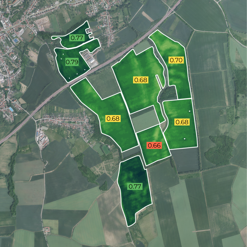
Crop Monitoring
Use satellite imagery to observe and analyse crop conditions, growth stages, and productivity over time, providing large-scale, timely insights into agricultural performance.
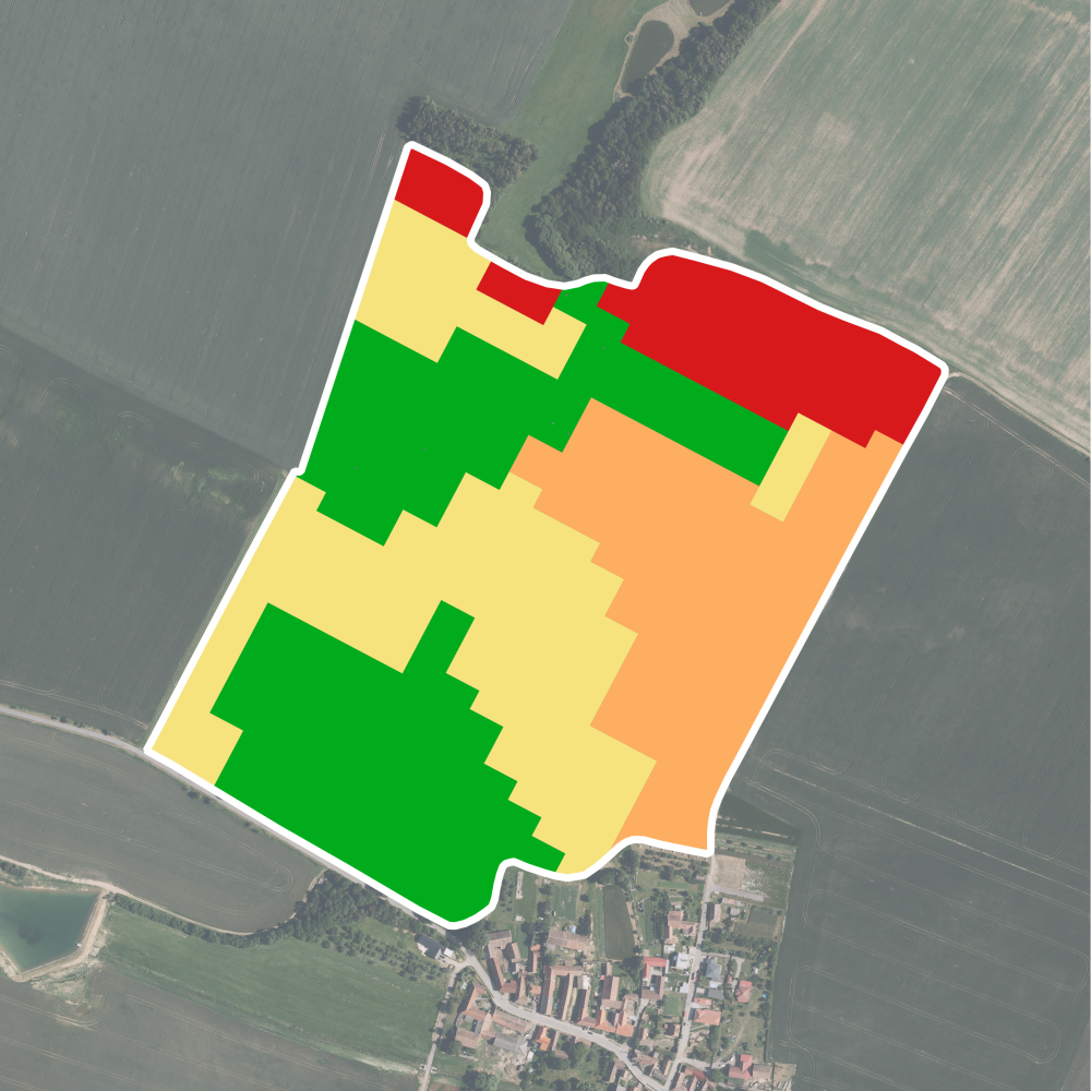
Variable Rate Applications
Create Variable Rate Application (VRA) prescription maps to apply inputs such as seed, fertiliser, or pesticides at rates tailored to the specific needs of different areas within a field.
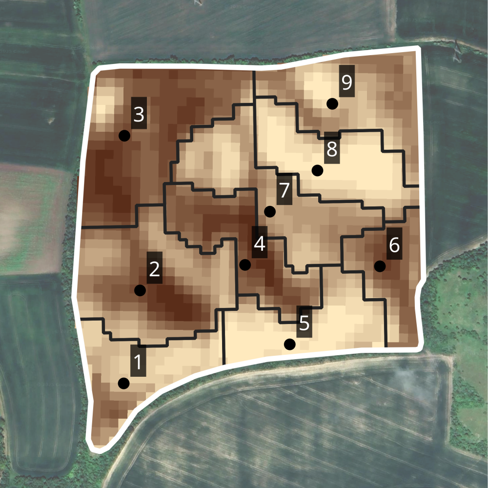
Soil sampling
Use satellite imagery to guide zone-based soil sampling by identifying areas within a field that differ in soil reflectance, yield or soil moisture.
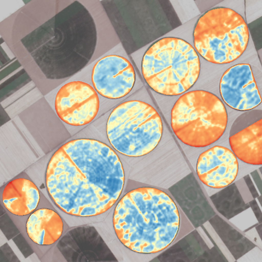
Irrigation
Use satellite imagery to monitor crop water status and identify areas experiencing moisture stress.
Trusted by


