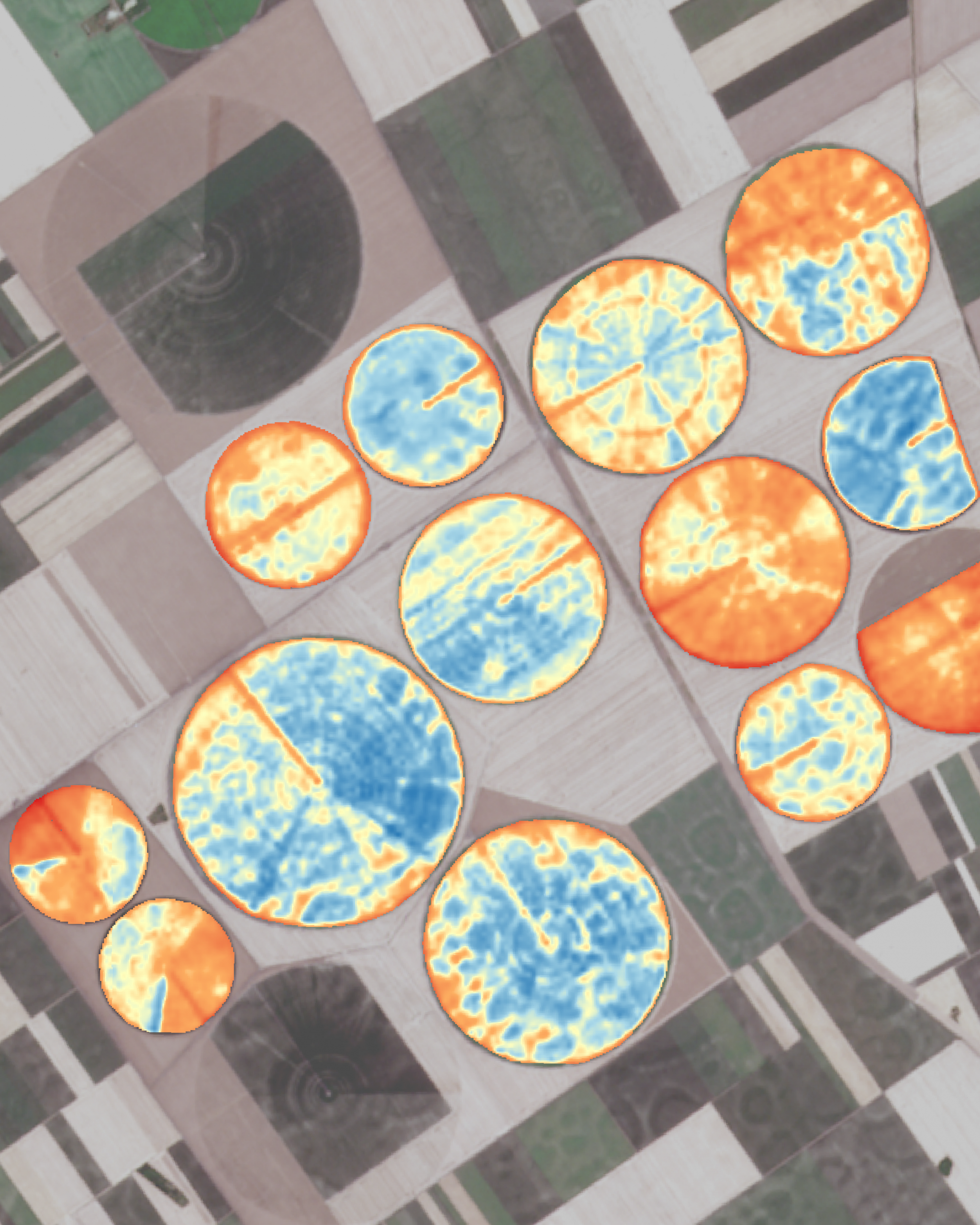
Use satellite imagery to monitor crop water status and identify areas experiencing moisture stress. These insights help farmers schedule and adjust irrigation more precisely, ensuring optimal water use and maintaining consistent crop growth across the field.
- plant and soil moisture monitoring
- water use efficiency
- optimised scheduling
- rate management
- drought analysis
- suitable positions for IoT sensors