5 reasons why farmers might massively turn their eyes to satellite data in 2021
Agriculture is undoubtedly one of the most conservative sectors in the economy. Changes take time, and one must be very careful to become optimistic about certain innovations. Talks about precision and smart agriculture trends will soon reach their 20th anniversary, yet agriculture has mostly stayed the same. However, there are indices that overwhelming changes are happening in 2021.
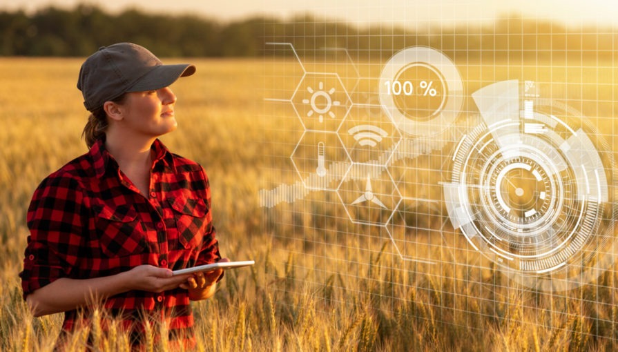
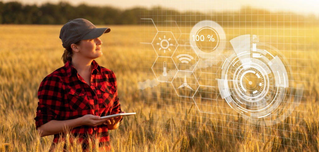
While satellite data was considered experimental several years ago, it is clearly becoming mainstream today. Applications based on GPS for autonomous driving and route optimization have been around for already some time, and many farmers are ready to make another leap in innovation.
Currently, the use of satellites for monitoring the actual state of the field and creating maps for seeding and fertilizing is becoming the most significant trend. We have summed up the five main drivers why in 2021, the critical mass of farmers using satellite data might be already formed.
1. Higher yields + lower costs = happy farmer
Profitability has been the single biggest driver of changes in agriculture for decades. In this regard, nothing has really changed. Only innovation that keeps bringing reliable and measurable benefits in terms of cost has the potential to thrive.
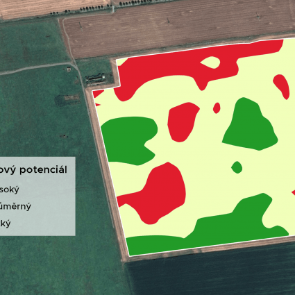
Services based on satellite data are a clear example of that. Farmers using maps for variable fertilizing generated from satellite data can cut fertiliser use up to 30% while increasing their yields by 10%. If we are talking about profit, this means an additional benefit of €20 to €100 from each hectare of field, which is something any farmer would be interested in.
2. My neighbour uses it. I will give it a try.
Lack of trust among farmers has traditionally been the largest barrier for satellite services. Being the first to start using new technology is always tricky and farmers generally tend to wait for the others. Conservative strategies have proven to be the most useful during the centuries. And that was the critical problem – a farmer didn’t know anybody who would be using satellite data three years ago.
The situation is way different today. Very few farmers who started using satellite products in previous years have decided to abandon them. Therefore, the number of users tends to grow steadily. As of today, the majority of farmers know somebody who has tried satellite monitoring, and the 2021season might be the first one when they try it on their own.
3. Open data are pushing the price down
High prices associated with products using satellite data have plummeted recently. The reason is simple. When one doesn’t need to pay for the original data, it is much easier to provide a service at an affordable price.
European Commission and European Space Agency have provided relevant data from Copernicus Sentinel satellites for free since 2015. Of course, the free data cannot guarantee the highest possible quality at the same time. But the tradeoff is clear. Good enough quality of open data allows for a great price. And it expands the usability of services.
4. Lack of staff, COVID, and automation
Satellites can monitor crop conditions over thousands of hectares. This is crucial considering that lack of staff in agriculture is the reality in most EU countries. Especially while large portions of foreign seasonal workers simply might not be there this year due to the ongoing COVID pandemics.
Automation has already proved to be a suitable solution in all sectors, including agriculture. With satellite monitoring, the aim is not to exclude people from decision making but rather to understand which spots require more attention from farmers. In this way, farmers can operate more efficiently on more fields with fewer people.
5. Integrations into agriculture software and mobile apps
Can you imagine organizing your work without a computer or mobile apps? Well, most of the farming is still done without it. However, farm management software and mobile apps for farmers are spreading very fast. Most of the younger generations of farmers cannot imagine farming without it. Recent data shows that the market is growing at a speed of 15-20% with expectations to speed up.
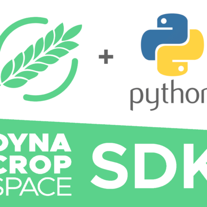
Integration of satellite crop monitoring into such applications is becoming a must-have. More and more software providers are using it as one part of the service, defining a standard. Services like DynaCrop API allow companies to easily integrate satellite-based services for a very low price and provide it to their own clients at scale. This brings more benefit to farmers and a new revenue pipeline for agriculture software companies.
You might be curious why environmental issues and climate change didn’t make it to the list. There are clear benefits of satellite crop monitoring in this field as well, and it is a clear political priority of the EU. Nevertheless, farming is a conservative sector, and one must be very careful to be optimistic about its willingness to change based on political trends.
The farm economy will remain the single biggest driver for agriculture innovation, and this year, it points out in direction to satellite crop monitoring.