Easily integrable and lightweight API
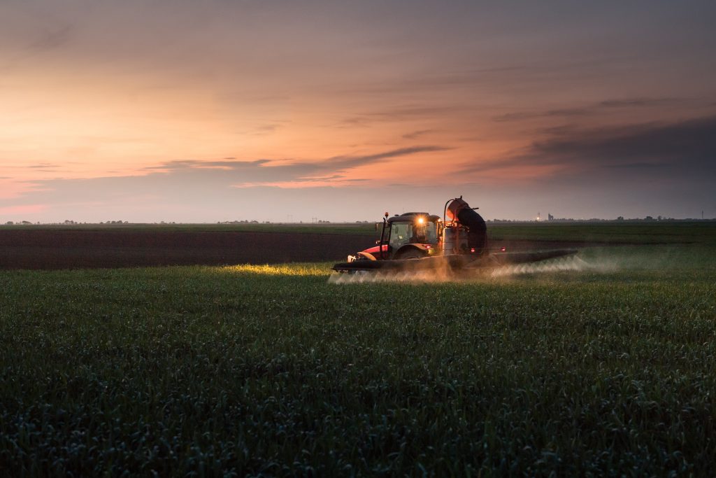
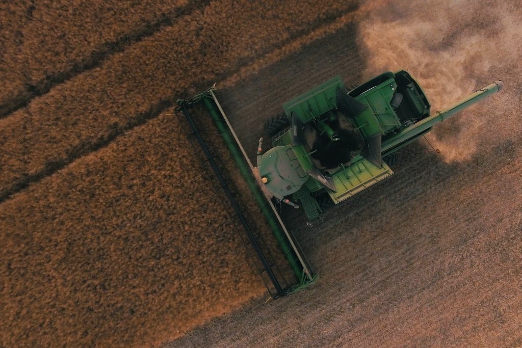
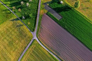
Precision farming
use cases
Key advantages
- Regular weekly data & historical archive
- Expert support for crop and soil use cases
- Pay-as-you-go without minimum order

Easily integrable and lightweight API
As a DynaCrop user, you get smooth access to smart and comprehensive satellite data insights. So, instead of worrying about your tech, you can focus on increasing revenue!


Support your daily operation planning with up-to-date analyses offering actionable crop-specific indicators on growth patterns and potential anomalies, guiding scouting point suggestions. Explore variability level and actual crop coverage. Create full, short, or custom reports in whitelabel PDF or JSON.


Generate representative soil and yield zones for sampling, cutting costs by 20-40% compared to traditional methods. Save more than €100 per hectare while reducing labour, equipment, and fuel expenses. Benefit from enhanced accuracy, increased field productivity, and improved profit margins.
Get long-term yield potential zones within each field. Tailor inputs to the specific needs of each field zone and optimise plant populations to enhance efficiency, and save time as well as resources. This approach not only reduces resource usage by 15-40% but also boosts yields by 5-15%, resulting in financial gains of up to €200 per hectare for end users.
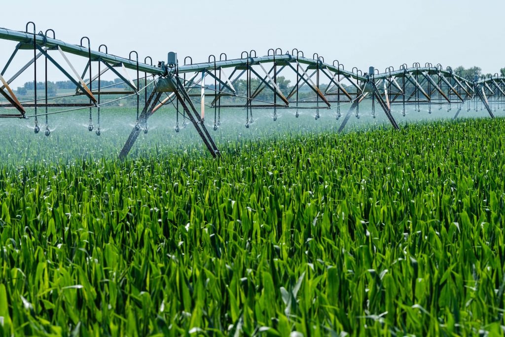
Enhance irrigation efficiency and mitigate drought impact with AI-driven fusion of IoT sensors and satellite data. Leveraging soil characteristic understanding, optimise irrigation practices to reduce water usage by 20-30%.

Improve yields by 5-15% thanks to adjusting planning to weather and crop phenology. Harness satellite insights for field/region prioritisation. Ensure that resources and efforts are allocated efficiently.

Enhance your agriculture portfolio monitoring and scale your risk assessment with comprehensive data-backed indicators.
Getting in touch with you is our first and foremost priority. If you have any question regarding our service or satellite technology in general, feel free to use our contact form or adress us directly by:
Plan an
online meeting
now.
World from Space, s.r.o., Pellicova 624/3, 602 00 Brno, Czech Republic. Společnost je zapsána v obchodním rejstříku u Krajského soudu v Brně, oddíl C, vložka 101899. Copyright 2025
