Watch Precision Ag with Space Data

Recordings of the webinar series:

E1: Trends for This Year

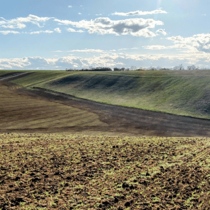
E2: Field Crop Best Practices

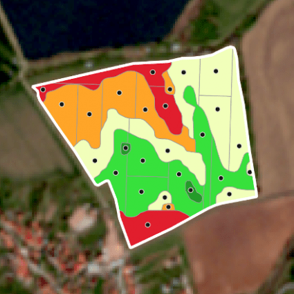
E3: Soil-related Best Practices

E4: Orchard & Vineyard Best Practices

Learn how to elevate any digital farming tool by utilizing the full potential of satellite data.

Should you like to discuss some of your particular use cases, feel free to get in touch with our colleague.

ervin@dynacrop.space

Join our four-part webinar series to discover how satellite-data insights are transforming AgTech industry at this very moment. What trends should you follow in 2023 to stay ahead? Why is there a need for more than just satellite data? Let’s discover how satellite data help with yield potential assessment, pre-season or in-season fertilizing prescription. Also, find out how to obtain data even on cloudy days, what soil properties are essential to monitor, and what details can satellite data tell about fragmented orchards and vineyards. Do your clients consider variable rate seeding or growth regulator application? No problem, we will cover it all.

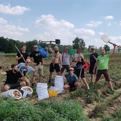
Let’s take a closer look at genuine use cases of satellite data in precision agriculture and explore why they are becoming increasingly popular every day. Whether you are a digital farming tool representative, agricultural producer, or soil sampling company representative, this webinar series is perfect for anyone who wants to stay ahead of the game.

Organized by DynaCrop – service for smart farming. Elaborated in the framework of the EuroGEO e-shape project. The e-shape project has received funding from the European Union’s Horizon 2020 research and innovation programme under grant agreement 820852.

What might interest you


field testsimpact+1
soil moisture field validataion

Field validation improves our soil moisture product

5 min.

Enhancing the accuracy of our satellite soil moisture monitoring service is one of our top priorities, and we are constantly developing and refining our methods to provide more precise estimations....

Read more

precision farming

How to decrease inputs and increase yields with field zonation?

4 min.

Growing prices of fertilizers, supply chains broken with the war in Ukraine, and soaring energy costs put increasing pressure on agronomists this season. As the prices of inputs skyrocket, it is...

Read more

precision farmingtechnology

Time-series is(not) about taking the big step back

4 min.

Remember Cher crooning the 1989 hit song ‘If I Could Turn Back Time’?She probably wishes that she had a time machine on her hands - and although the laws of physics and limitations of the...

Read more

case studiesprecision farming

How leaf monitoring from space changed one life in Bohemia

3 min.

Jan is the most common name in the Czech Republic. It is no wonder then that Jan is the name of one of the farmers we recently contacted. He lives in a small village of around 400 people with his...

Read more

precision farming

5 reasons why farmers might massively turn their eyes to satellite data in 2021

4 min.

Agriculture is undoubtedly one of the most conservative sectors in the economy. Changes take time, and one must be very careful to become optimistic about certain innovations. Talks about precision...

Read more

precision farmingtechnology

Vegetation indices – the cornerstone of satellite crop monitoring

Jan Labohý

2 min.

Satellite crop monitoring allows farmers to regularly assess the crops’ condition without the need of personal visits in the fields. Vegetation indices are the primary tool that provides...

Read more

World from Space, s.r.o., Pellicova 624/3, 602 00 Brno, Czech Republic. Společnost je zapsána v obchodním rejstříku u Krajského soudu v Brně, oddíl C, vložka 101899. Copyright 2023

Made by: