How field scouting can solve problems before they become serious (EN)
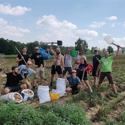
Field scouting is an important feature that helps farmers make timely, informed and economical field crop decisions. Traditionally, crop scouting allows farmers to check how different areas of fields are growing and identify potential problems and it is done by walking through the field and observing crops.
The underperformance in parts of the field could be soil, pest, disease or nutrient-related. It is crucial to find out a source of the problem as soon as possible so it can be resolved.
If the problems are recognised soon, the farmer can mitigate them and protect the yield. Issues not found tend to grow and can potentially limit the yield at the harvest time.
Why use satellite field scouting
There are several reasons why satellite field monitoring might be a useful tool for farmers:
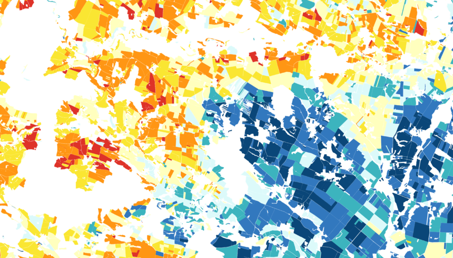
- For large fields (more than 20 ha), the personal scouting accuracy diminishes
- Increase the effectiveness of crop scouting
- Enabling geotagging of potential crop problems
- Get objective and comprehensive addition to your scouting reports
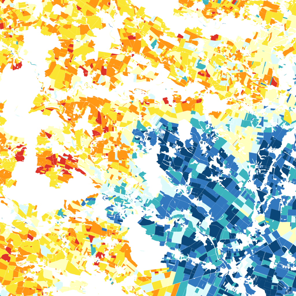
- Field scouting tells farmers a considerable amount about their plants, it can help them improve yield and maximise crop efficiency.
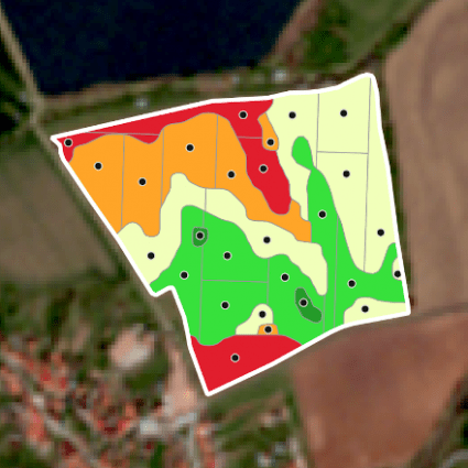
Our precision agriculture technology based on satellite data helps significantly when it comes to field scouting. The service allows you to identify potentially problematic places in all of your fields throughout the season in every stage of crop development.
How to use it
- You can see how much weed is growing on your field during the per-seeding and how densely it is distributed.
- For seeding, the soil moisture map is a helpful tool.
- After completing seeding, you can check the places where the crop doesn’t begin to germinate.
- During the growing season, our service brings you early warning systems that identifies early signs of pest issues, soil moisture issues, and other risks that could be mitigated by farmers’ action.
On the other side, it is important to note that the satellite service is not designed sofield visits should be abandoned. Fields should still be monitored, as satellites cannot give you information about all potential threats. However, satellite monitoring provides a whole new perspective on crop monitoring.
Do you have questions or comments regarding the topic of this article? Feel free to contact us.