Vegetation indices – the cornerstone of satellite crop monitoring (EN)
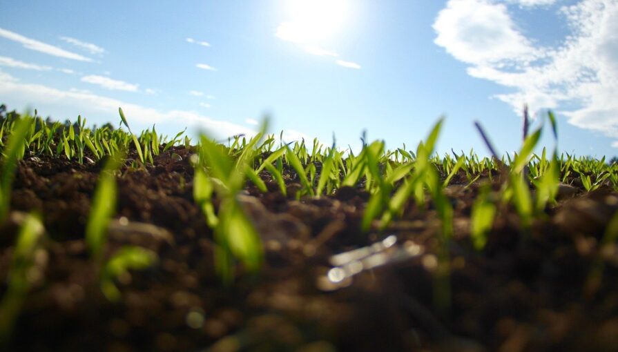
Satellite crop monitoring allows farmers to regularly assess the crops’ condition without the need of personal visits in the fields. Vegetation indices are the primary tool that provides near-real-time information about the crop condition.
A satellite-based assessment could be both qualitative and quantitative evaluation, and thus provides more real information than potential vegetation maps, which are based on vegetation-climatic factors.
How does it work
Vegetation indices use specific properties of different surfaces manifested by diverse reflectance and absorption of electromagnetic radiation measured with satellites. Those specific surface properties cause that under the same conditions on the same day, and at the same wavelength, a tree in the Amazon rainforest and a tree in the middle of the African Sahel will reach different values.
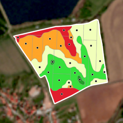
Similarly, an agricultural crop may have at the same time different values within a single field.That can depend on whether it is located – in the shade of a forest (with a lack of sunlight), in a waterlogged area (too much water leading to vegetation death) or in a place where the ratio of sunlight, moisture and nutrients is in balance.
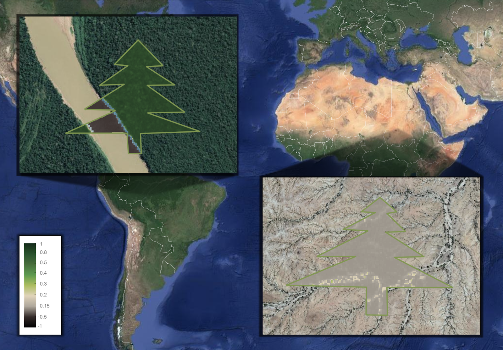
A tree in the Amazon rainforest reaches higher values of NDVI in comparison to a tree in African Sahel measured by Sentinel-2 and displayed by DynaCrop.
The key aspect of creating indices is the feature of satellites, which measure simultaneously multiple wavelengths, the so-called multispectral and hyperspectral sensors. The Sentinel 2, which is primarily used by DynaCrop, offers 13 different wavelengths, some of them specially designed for vegetation monitoring.
Each of the indices uses a combination of values measured at different wavelengths at the same time and in the same place to determine the required parameters such as the health of the vegetation, the chlorophyll content in the leaves, the amount of biomass, etc.
Which vegetation indices you can find in DynaCrop
At the moment, we enable you to use the following vegetation indices:
- NDVI – normalised difference vegetation index
- EVI – enhanced vegetation index
- NDWI – normalised difference water index
- NDMI – normalised difference moisture index
- LAI – leaf area index
- FAPAR – a fraction of photosynthetically active radiation
- CCC – canopy chlorophyll content
- CWC – canopy water content
- CWC – canopy water content
- MSAVI2 – modified soil-adjusted vegetation index
- NDRE – normalised difference red edge index (B05, B08)
- NDREX – normalised difference red edge index (B04, B09)
To understand them more in detail, check our technical documentation.
Would you like to discuss specific indices or their use? Let us know, and we will be happy to talk to you.